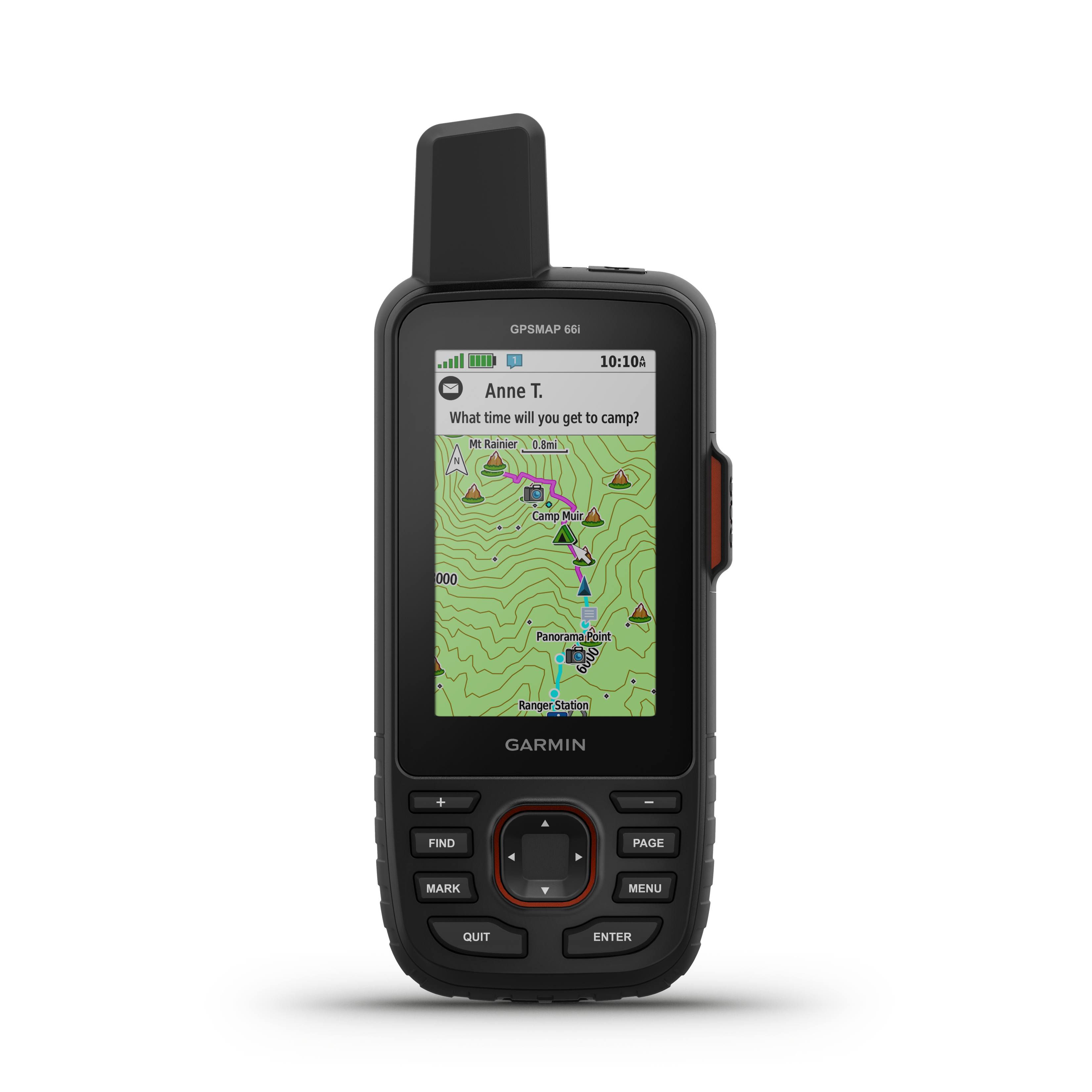
Pentaquest. The official Pentaquest tracking map for active climbs and training hikes. Visit http://www.pentaquest.com, http://www.facebook.com/pentaquest or @pentaquest on Twitter for more info.. Follow along online. The MapShare site shows the progress of someone tracking with an inReach satellite communicator. Read messages they have sent to MapShare. You can even reply.