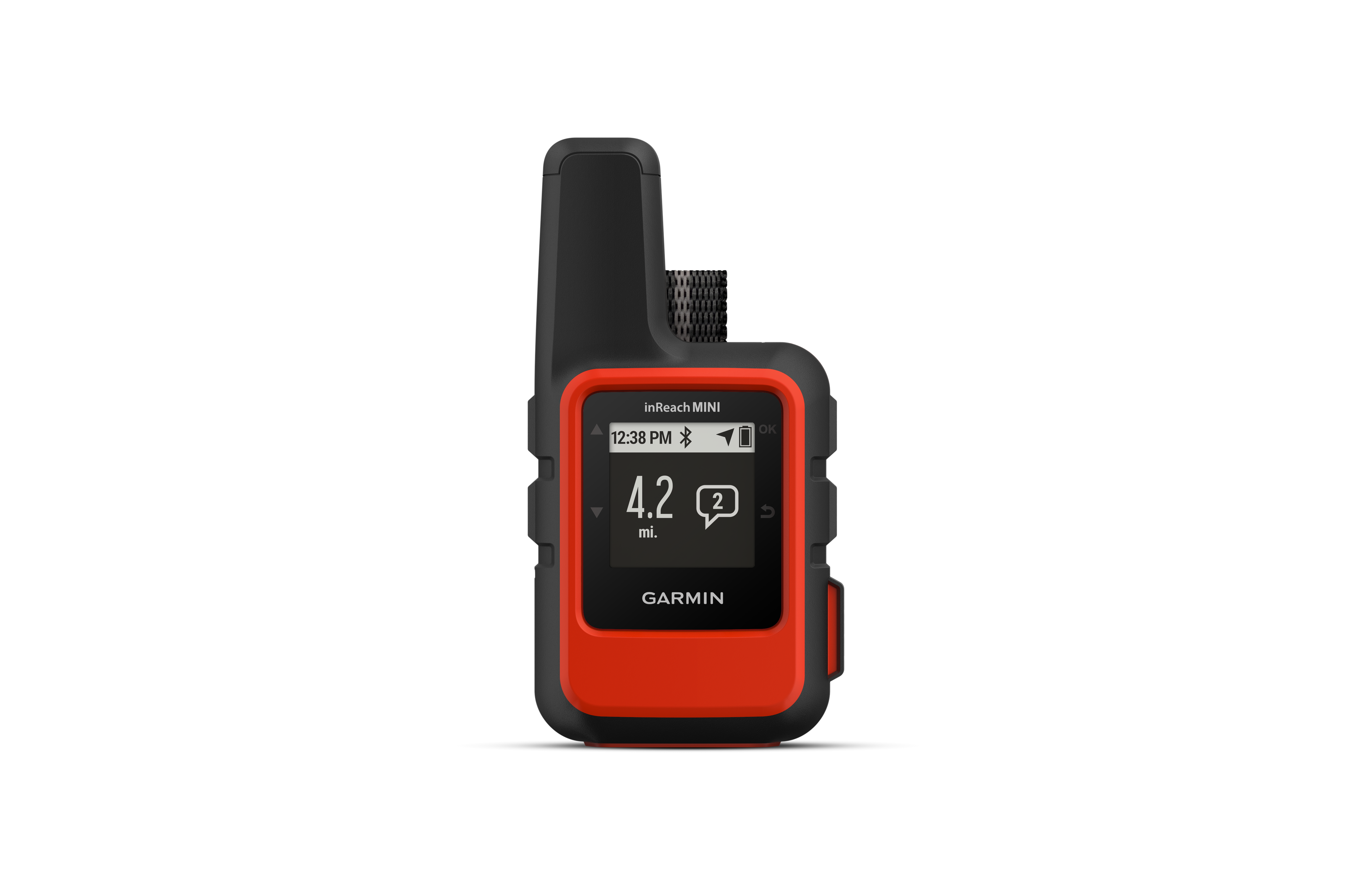
Penn and Joel on the PCT. Welcome to the map that tracks our progression as we try to hike our way from Mexico to Canada on the PCT. Check out photos on our Instagram at PennandJoelonthePCT.. Follow along online. The MapShare site shows the progress of someone tracking with an inReach satellite communicator. Read messages they have sent to MapShare. You can even reply.
