GRUOPOII. La siguiente plataforma digital permite a los familiares monitorear satelitalmente el progreso de la expedición.
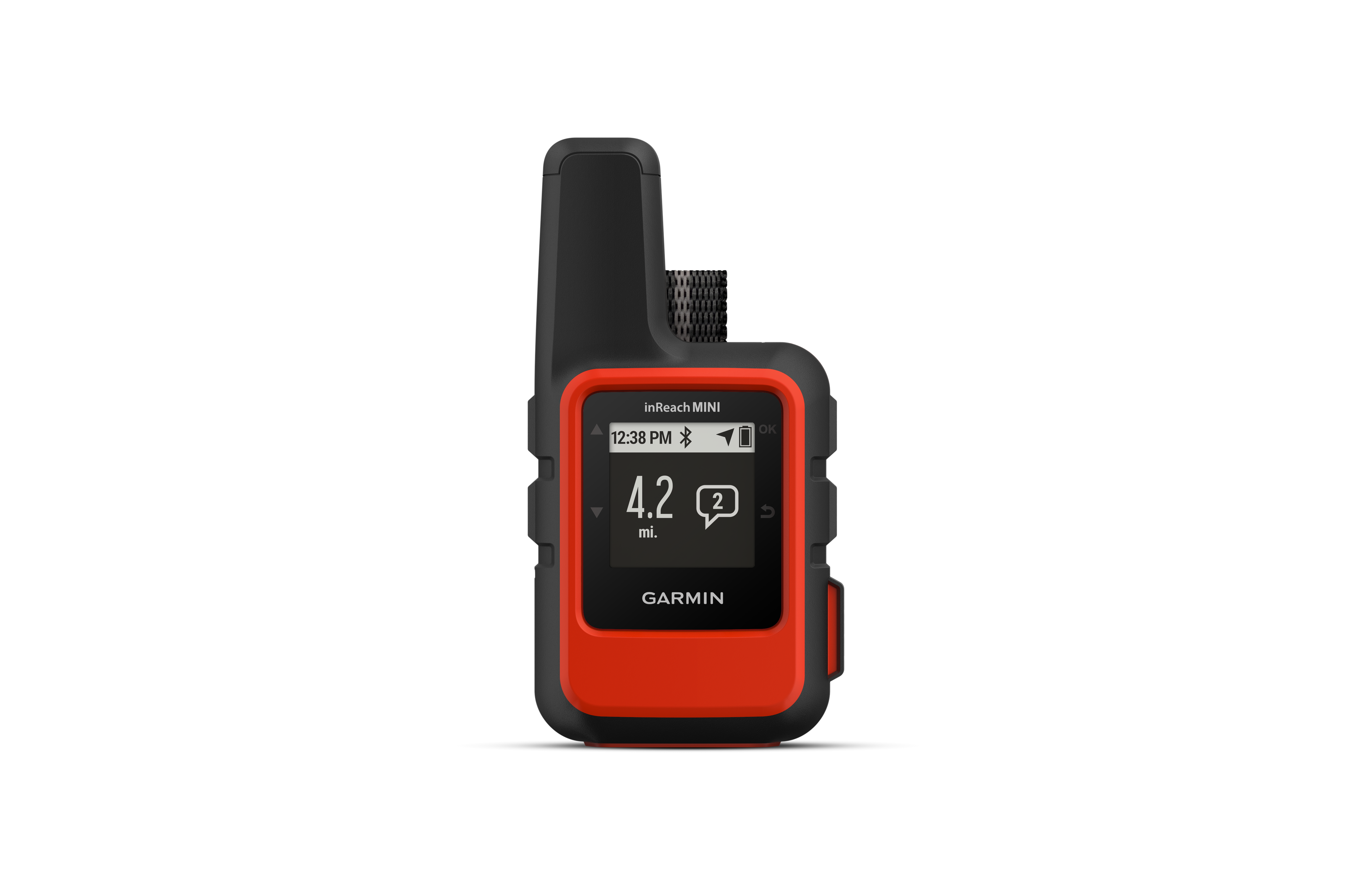
Los puntos azules represant los lugares en donde nos encontramos,. Follow along online. The MapShare site shows the progress of someone tracking with an inReach satellite communicator. Read messages they have sent to MapShare. You can even reply.