Bill Palmer. Soaring from Warner Springs, CA
This map plots new positions every 10 min.
You can also follow along on:
http://glideport.aero/map?p=GlideRegion:4
Look for XD
Flightradar24.com.
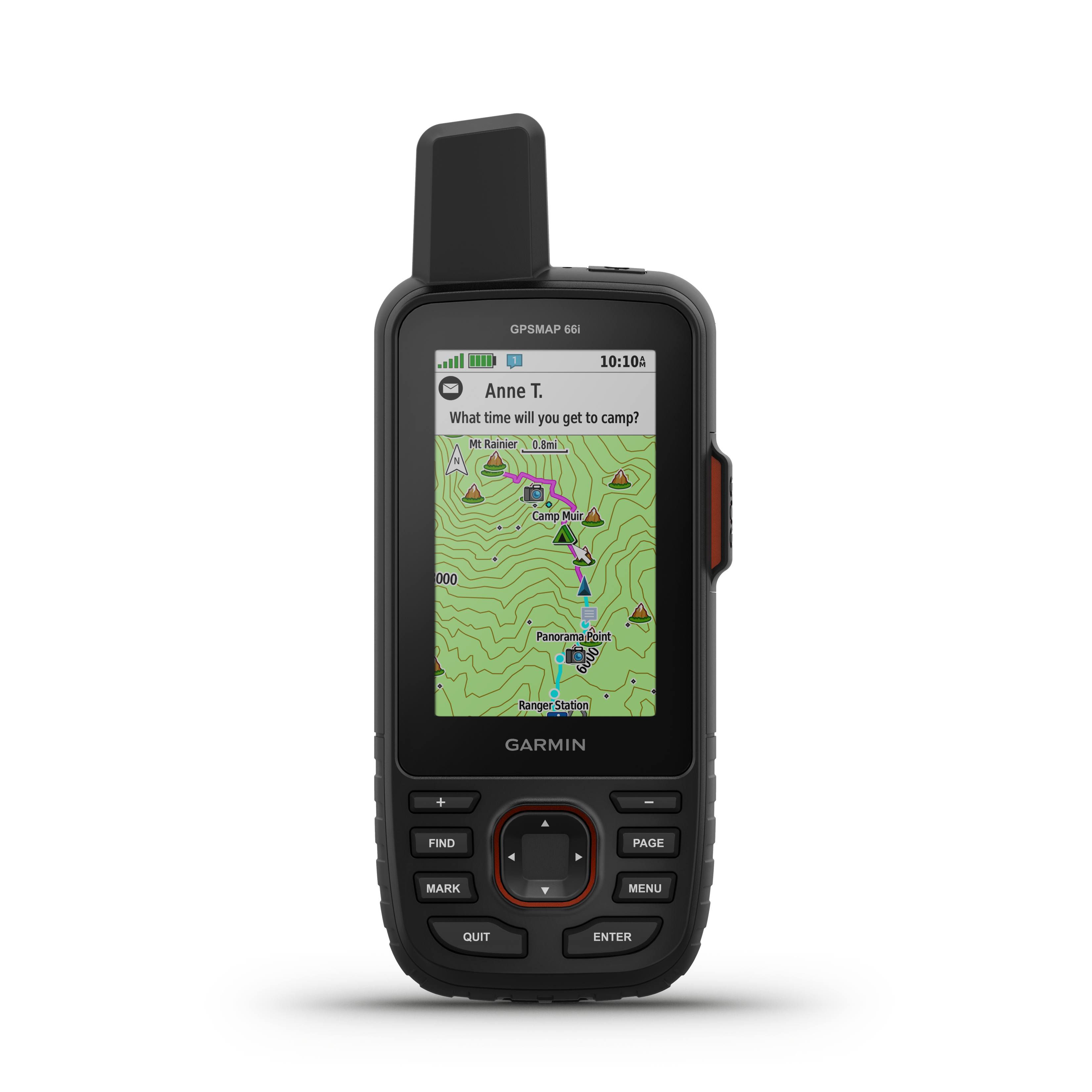
Search for N29XD. Follow along online. The MapShare site shows the progress of someone tracking with an inReach satellite communicator. Read messages they have sent to MapShare. You can even reply.