John Muir Trail. 222 miles long, from Happy Isles in Yosemite to the summit of Mt. Whitney, the highest summit in the contiguous United States with an elevation of 14,505 feet (4,421 m). The most scenic trail ever.. Follow along online. The MapShare site shows the progress of someone tracking with an inReach satellite communicator. Read messages they have sent to MapShare. You can even reply.

Explore Explore
Legal Information
inReach Map Data Sources

Site Version
1.0.127.4138
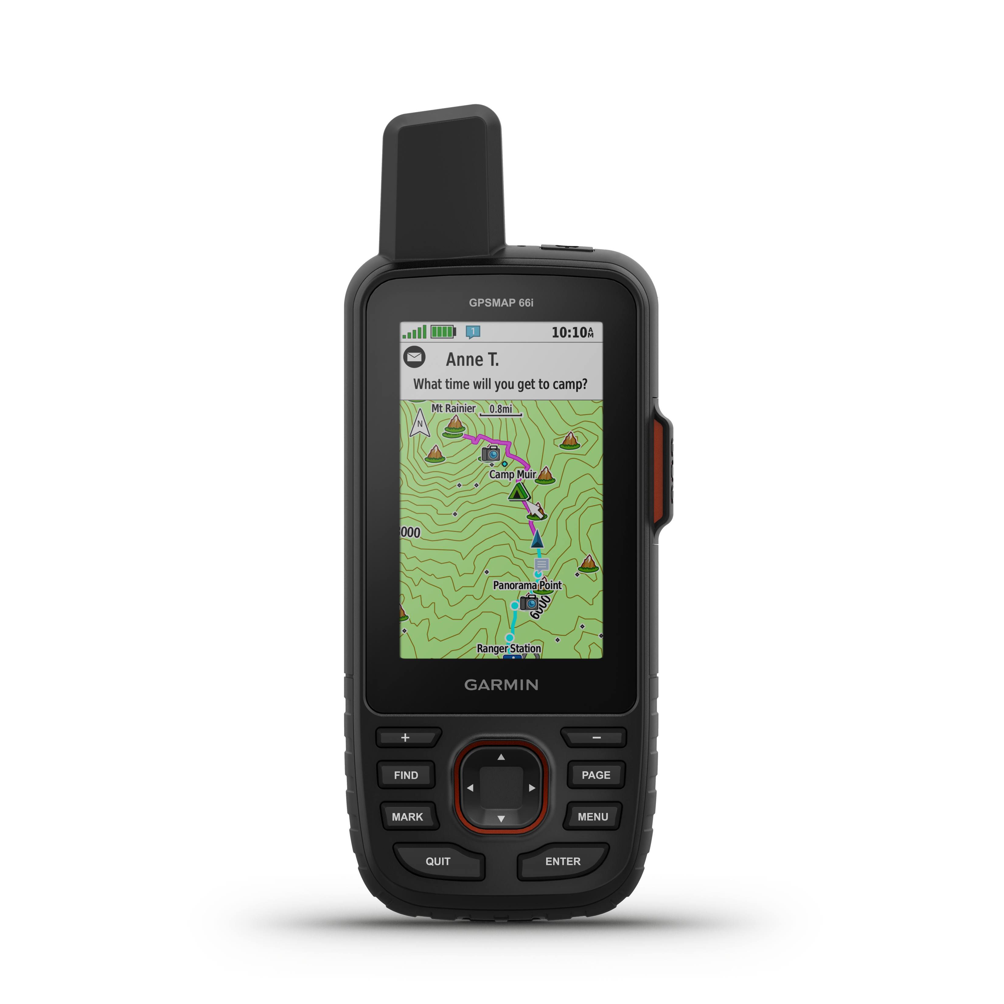
Powered by inReach® Satellite Technology
Learn More
Learn More
▼ John Muir Trail
222 miles long, from Happy Isles in Yosemite to the summit of Mt. Whitney, the highest summit in the contiguous United States with an elevation of 14,505 feet (4,421 m). The most scenic trail ever.
Get More Maps
collapse

Politică de confidenţialitate | Privaatsuspoliitika | Privātuma politika | Privatumo politika

Privacy Policy | inReach Map Data Sources

Loading Chat History Loading Chat History
There is no more history to display.
Loading
No chat history available. Expand the date filter to load older data.
New Messages
You sent a message to . sent a message to
To
You added a note. added a note.

Characters Remaining
Loading
user popup delete


Id:
Trail:
Speed: Course:
Elevation: Batt:
Lat: Lon:
Track
Message
Locate
▲ MORE ▲